Comparing 5 Augmented Reality Services for Digital Transformation in 2026
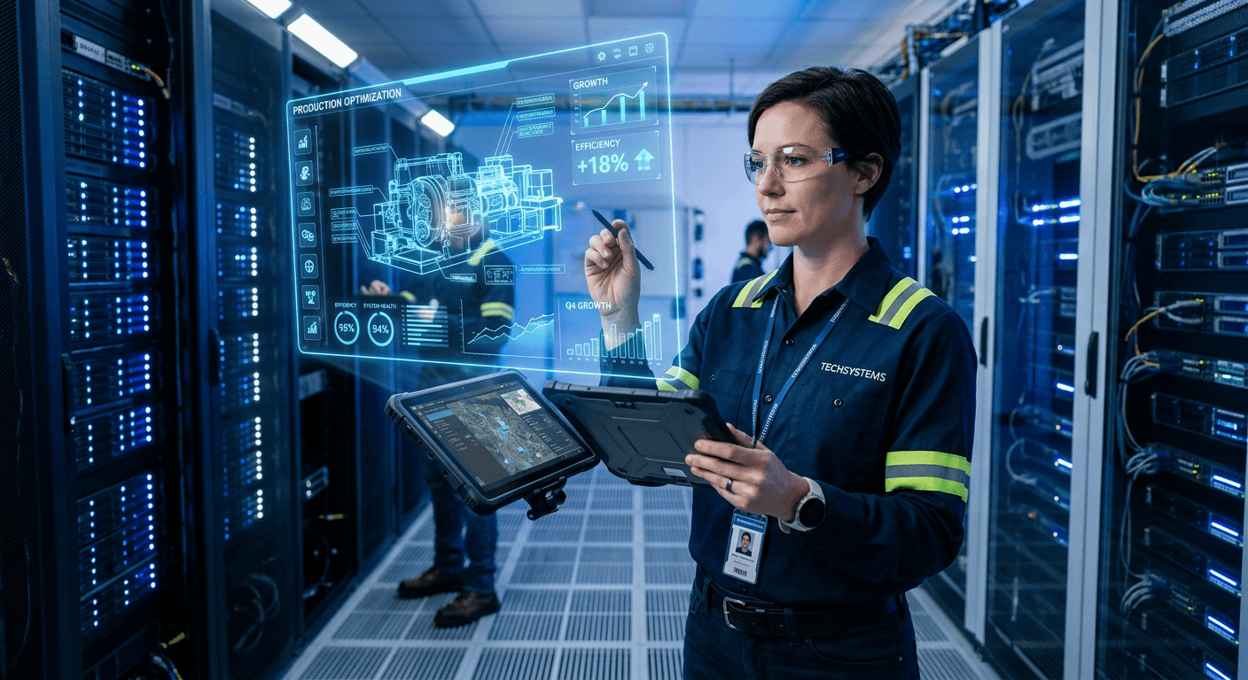
Most procurement teams evaluate augmented reality services assuming they are buying hardware integration. They sit through vendor presentations expecting to choose between headsets and smart glasses, missing the actual mechanism of spatial computing entirely. The reality is that the physical hardware operates merely as a lens. The real investment sits in the backend data pipelines, process visualization engines, and localized infrastructure that allow digital twins to overlay a physical environment without latency. When industrial managers assume the headset solves the problem, they end up with massive rendering bottlenecks and disconnected field teams. True spatial integration connects live operational data seamlessly to the technician’s field of view. Assessing modern solutions requires looking past the rotating 3D models to see exactly how the software anchors itself to existing enterprise workflows and rigid physical constraints.
Quick Summary
Augmented reality tools bridge the gap between digital data and physical environments by overlaying interactive visual assets onto live camera feeds. Choosing the right provider requires matching your technical infrastructure with the platform's specific rendering capabilities.
- Custom integrations pipe proprietary databases directly into spatial environments.
- No-code authoring platforms allow internal teams to build interactive assets.
- XR training simulators replace dangerous physical machinery with virtual mock-ups.
- Industrial remote support tools connect field technicians with central engineers.
- Browser-based AdTech bypasses app store friction for consumer marketing.
Table of Contents
- Buying Guide / How to Choose
- 1. Astrorei S.r.l.
- 2. Inglobe Technologies S.r.l.
- 3. AnotheReality S.r.l.
- 4. Acty
- 5. Aryel
- Aligning Spatial Tools with Operational Reality
| Product | Core Application Area | Features | Pros | Cons | Target Audience |
|---|---|---|---|---|---|
| Astrorei S.r.l. | Custom Integration | IoT integration, bespoke data bridges, specialized telemetry | Deeply integrates hardware, unifies mobile databases, avoids closed templates | Demands heavy planning, limits rapid global scale, requires specific hardware | Architectural & IoT enterprises |
| Inglobe Technologies S.r.l. | No-Code Authoring | ARmedia canvas, drag-and-drop 3D, physical tracking | Eliminates coding, compiles assets automatically, supports custom targets | Restricts CV overrides, struggles in dynamic lighting, isolates databases | Internal training & marketing teams |
| AnotheReality S.r.l. | XR Training | Interactive simulators, game engine physics, performance metrics | Mitigates physical risk, eliminates travel costs, captures granular data | Adds graphical overhead, splits resource focus, requires heavy modeling | Heavy industry & safety directors |
| Acty | Industrial Support | Remote live feeds, spatial annotations, Sophia AI documents | Connects remote experts, anchors digital markers, parses dense manuals | Relies on factory networks, lacks 3D modeling, untested massive scale | Field maintenance technicians |
| Aryel | AdTech | WebAR rendering, browser try-ons, engagement tracking | Bypasses app downloads, tracks interaction data, features agency program | Sacrifices processing power, crashes on complex models, prevents photorealism | Consumer retail & marketing agencies |
Buying Guide / How to Choose
Selecting the correct spatial computing partner depends entirely on matching the provider's technical infrastructure to your operational reality. Agencies providing digital business transformation consulting increasingly separate spatial software providers into distinct categories based on how they process visual data. We evaluate these solutions along one primary classification axis: the Core Application Area.
- Custom Integration: Focuses on building bespoke data pipelines that connect proprietary enterprise databases with customized spatial overlays.
- No-Code Authoring: Removes development bottlenecks by providing a visual canvas where non-technical staff can compile existing 3D assets.
- XR Training: Simulates dangerous or expensive physical environments using video game engines to train staff in a controlled sandbox.
- Industrial Support: Connects live field workers with central experts via augmented video feeds, prioritizing communication over rendering.
- AdTech: Prioritizes frictionless, browser-based rendering designed specifically for lightweight consumer engagement rather than industrial engineering.
Practical rule: Hardware specifications rarely dictate spatial success; network latency and backend database interoperability determine whether an implementation actually functions in the field.
1. Astrorei S.r.l.
When an architectural project manager needs proprietary IoT sensor data projected onto a live construction site, off-the-shelf spatial applications immediately break down. Astrorei S.r.l. operates out of Pavia, Italy, functioning as a custom software firm that integrates augmented and virtual reality directly into specialized web and mobile environments.
This Custom Integration category treats spatial computing as a direct extension of standard services engineering, bridging the gap between legacy backend databases and physical locations. The mechanism relies on building bespoke data bridges rather than forcing a client into a predefined authoring template. The development team hooks localized telemetry and proprietary sensor outputs straight into a custom-built augmented interface. Instead of a generic 3D model floating in empty space, the resulting application pipes live operational data onto the specific physical assets a company already owns. This approach allows a business to connect spatial visualization directly to its unique hardware array, ensuring that the augmented overlay responds immediately to real-time database changes.
Bespoke architecture trades speed for specificity
What would make us hold off is the sheer scale of deployment required by vast global enterprises. Operating with a registered share capital of 10,000.00 EUR and a registered office at Via Fratelli Cuzio 42, the firm maintains a footprint built for highly tailored integrations. Buyers needing rapid deployment of thousands of seats across multiple continents in a matter of weeks might exhaust a specialized team's bandwidth.
Commission this team when proprietary data sources absolutely refuse to integrate with standardized spatial software.
Pros
- Directly links proprietary IoT sensor feeds into physical space
- Avoids the limitations of closed proprietary authoring templates
- Unifies spatial computing with existing web and mobile databases
Cons
- Demands extensive architectural planning before visual deployment begins
- Limits immediate deployment bandwidth compared to global tech conglomerates
- Requires specialized hardware integrations rather than off-the-shelf cameras
2. Inglobe Technologies S.r.l.
Where bespoke software development demands months of architectural planning, other solutions remove the coding requirement entirely. Inglobe Technologies S.r.l. functions as a perceptual computing company focused purely on platform-based deployment through its No-Code Authoring environment.
The core mechanism is driven by ARmedia, an authoring platform designed to bypass standard programming languages. The system provides a visual canvas where users drag and drop 3D assets, audio files, and instructional videos. The underlying computer vision algorithms then map these assets to physical tracking targets, such as standard QR codes, flat images, or recognized 3D objects. When the user completes the visual layout, the software automatically compiles the assets into a deployable application package. This abstracts the entire spatial mapping process, relying on pre-built tracking libraries rather than requiring custom-engineered sensor data to recognize the physical world. The software continually refines its spatial understanding by referencing a database of environmental edge cases, ensuring stable perceptual computing performance without manual calibration.
Authoring layers abstract the heavy lifting
I would hold off if the operational environment involves highly dynamic, unpredictable lighting conditions. Such environments require raw camera data manipulation. Founded in 2008, the company is headquartered at Via Giacomo Matteotti 103 in Ceccano, Frosinone. It focuses on accessible platform deployment rather than open-source flexibility. A highly specialized project might require a development team to override the underlying computer vision protocols. A closed authoring platform inherently denies this access.
Internal marketing departments looking to build their own spatial assets should utilize this authoring environment.
Pros
- Eliminates the need for specialized spatial software developers
- Compiles assets automatically into deployable application packages
- Supports physical tracking targets without custom sensor hardware
Cons
- Restricts deep modifications to the underlying computer vision protocols
- Struggles to adapt in highly unpredictable or dynamic lighting environments
- Limits integration capabilities with highly proprietary external databases
3. AnotheReality S.r.l.
The staggering financial burden of flying technicians to a physical training site frequently forces operations directors to seek out virtual alternatives. AnotheReality S.r.l. attacks this cost center by constructing specialized simulators, squarely anchoring itself in the XR Training category by applying videogame mechanics to enterprise problems.
Operating from its registered address at Via Atto Vannucci 13 in Milan, the company divides its output across three core business pillars. These include Customer Experience, Learning & Training, and Games & Entertainment. For the enterprise sector, the training mechanism renders standard procedural manuals into interactive virtual simulators. Trainees navigate a fully modeled 3D environment. They interact with virtual machinery where physics, collisions, and failure states are calculated in real-time by a game engine. This creates a spatial sandbox. Employees can execute complex procedures and experience error consequences without damaging actual equipment or halting real-world production lines. The simulation tracks user movements and decisions to generate granular performance metrics. Traditional classroom testing simply cannot capture this data.
Gamification relies on high-fidelity modeling
Operating as an Italian Startup Innovativa with a share capital of 15,000.00 EUR, the developer deliberately splits its resources across entertainment and corporate applications. Buyers strictly looking for lean data visualization might hesitate. This videogame-centric approach introduces unnecessary graphical overhead and narrative bloat. I would avoid this route if the primary goal is simply overlaying text onto a live video feed. It simulates an entire operational environment from scratch.
The shift toward virtual simulators makes sense for organizations looking to mitigate the physical risks of heavy machinery operation.
Pros
- Replaces high-risk physical machinery training with safe virtual environments
- Tracks granular user performance metrics through real-time game engines
- Eliminates continuous travel expenses associated with physical mock-ups
Cons
- Introduces unnecessary graphical overhead for basic data visualization needs
- Splits development focus across unrelated entertainment and enterprise pillars
- Requires significant initial investment to model complex physics accurately
4. Acty
Equipment downtime drains industrial revenue by the minute, elevating remote field interventions from an optional upgrade to a mandatory requirement. Acty addresses this operational block as a specialized Industrial Support platform, connecting isolated maintenance teams directly with central engineering experts via live augmented video feeds.
The mechanism focuses heavily on remote annotation layered over live spatial data. The software transmits a real-time camera feed from a technician’s smartphone or smart glasses back to a remote desktop. The remote expert draws physical annotations, such as arrows or structural outlines, that remain digitally anchored to the machinery in the technician's view, even as the camera shifts perspective. Additionally, the software integrates Sophia AI, a document intelligence engine that parses massive technical PDFs. This allows field workers to query complex manuals using natural language directly within the augmented interface. By unifying these functions with customer support and spare parts management through its Service Qube architecture, the tool acts as a critical extension of sdm services for heavy industry.
Remote annotation stabilizes volatile field work
The system earned a 5.0 out of 5 stars rating on Capterra, though this metric requires context as it is based on exactly one published review. We would question the broader scalability guarantees until a larger sample size of enterprise deployments proves the software's stability across severely degraded factory cellular networks. It remains a communication bridge, not a substitute for local network reliability.
A direct deployment of this remote tool is necessary to reduce ongoing travel expenses for senior engineering staff.
Pros
- Connects junior field technicians immediately with central engineering experts
- Anchors remote digital annotations securely to moving machinery feeds
- Parses dense technical manuals through an integrated document intelligence tool
Cons
- Relies heavily on the stability of existing industrial cellular networks
- Serves purely as a communication bridge rather than a 3D modeling platform
- Lacks deep publicly visible scalability metrics beyond isolated platform reviews
5. Aryel
Consumer brands routinely fail their spatial campaigns by assuming retail buyers will download a dedicated application just to view an interactive advertisement. Aryel removes this adoption barrier by operating as a dedicated AdTech platform that delivers immersive try-ons and 3D display ads directly through mobile browsers.
Established as a startup in Milan in 2020, the platform utilizes WebAR technology to render spatial content inside standard web environments. The mechanism accesses a smartphone camera through basic browser permissions, utilizing lightweight computer vision to track facial features or identify flat surfaces. It then projects cosmetics, apparel, or consumer packaged goods directly onto the user's view without requiring a standalone app installation. The infrastructure handles campaigns across the automotive, CPG, fashion, and retail sectors, capturing interaction times and conversion rates on the backend. This pipeline frequently pairs with external analytics engines, feeding visual data into systems like azure cognitive services to analyze audience engagement patterns. Agencies managing extensive digital footprints rely on this infrastructure; for example, they might optimize their backend visibility using RapidWombat - AI-Driven SEO for Tech Companies while deploying front-end AR assets via Aryel. It also features a dedicated Partner Program designed specifically to support these marketing agencies.
Browser constraints dictate polygon budgets
WebAR inherently sacrifices the raw processing power available to native applications running directly on a device's hardware. High-polygon 3D models or highly complex lighting effects will stutter or crash a standard mobile browser, forcing brands to ruthlessly optimize and simplify their visual assets. We would skip this platform if a campaign demands photorealistic, industrial-grade rendering instead of lightweight consumer interactions.
Retail brands require this specific browser-based infrastructure to capture impulsive consumer try-ons without application friction.
Pros
- Operates entirely within standard mobile browsers to remove app friction
- Captures detailed interaction times and conversion metrics automatically
- Features a structured partnership program tailored for marketing agencies
Cons
- Sacrifices raw processing power available to native hardware applications
- Crashes mobile browsers when overloaded with high-polygon 3D models
- Prevents photorealistic rendering required for industrial engineering analysis
Aligning Spatial Tools with Operational Reality
Evaluating the Core Application Area prevents businesses from purchasing an expensive simulation engine when they only need a communication bridge.
When the primary objective involves piping legacy database metrics into a field technician's view, Custom Integration stands as the only viable route. Bespoke developers construct the specific telemetry bridges that generic software cannot accommodate.
Teams operating without dedicated software engineers face a different set of constraints. No-Code Authoring provides these marketing and training departments with a visual canvas to deploy spatial assets without manipulating underlying tracking algorithms.
Heavy industries managing dangerous equipment cannot rely on paper manuals to prevent catastrophic user errors. XR Training replaces the physical liability of raw machinery with controlled, physics-based virtual sandboxes.
Operations losing thousands of dollars an hour to machinery downtime require immediate communication bridges. Industrial Support tools strip away heavy 3D modeling in favor of live video feeds and anchored digital annotations that guide remote field workers.
Marketing departments chasing consumer engagement must prioritize low-friction accessibility above graphical fidelity. AdTech platforms leverage browser-based rendering to ensure users can experience virtual try-ons without ever visiting an app store.
Practical rule: Do not purchase a custom development contract if your primary objective is a temporary, lightweight marketing activation.